Recruit
SIG AND REMOTE SENSING PROJECT MANAGER
Categories: Earth Sciences, Geomatics, Geography, Cartography
Information on the general framework of the position
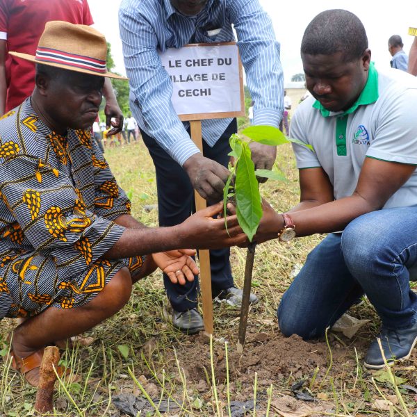
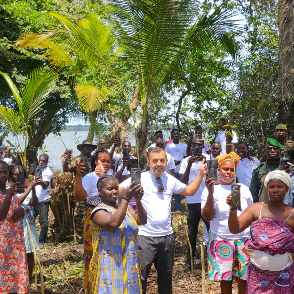
AGROMAP is a regional company headquartered in Abidjan, Côte d'Ivoire. It designs and implements sustainability projects through Nature-Based Solutions (NBS) in Côte d'Ivoire, Congo Brazzaville, Cameroon, Ghana and Guinea Conakry. These projects have a positive socio-economic impact on small-scale producers and their communities, improving their resilience to the effects of climate change. AGROMAP is strongly committed to the development of forest carbon credit projects. To ensure the operational implementation of projects in the field, four strategic axes have been identified: NBS, Consulting, Technology and Renewable Energy. As part of its policy of strategic development of these four areas, AGROMAP is recruiting a full-time GIS and Remote Sensing Project Manager.
Responsibilities
Under the supervision of the Head of the Technology Department, the GIS and Remote Sensing Project Manager will be responsible for :
Geospatial data collection and management
- Collect geospatial data from various sources (GPS, satellite images, field surveys);
- Remote piloting of drones for aerial image acquisition;
- Participate in the development, updating and management of project geographic databases;
- Process and analyze geographic data with GIS software (QGIS or ArcGIS);
- Ensure the quality, integrity and storage of collected geospatial data.
Site mapping design
- Create thematic maps and virtual representations from geospatial data;
- Participate in the design and updating of interactive maps and mapping applications;
- Photogrammetric analysis for the production of Orthophotos from aerial images acquired by drone;
- Drafting of technical reports.
Tool development and training
- Create customized GIS tools (dashboards for plot monitoring) ;
- Train technicians and producers in the basic use of geospatial tools;
- Monitor technology and innovation;
- Run training sessions on GIS and GPS collection for agricultural cooperatives.
Profile required
- Education: BAC+ 5 in geomatics or remote sensing, geography or similar field;
- 3 years' successful experience in a similar position, preferably in the environmental or agricultural sector;
- Ability to meet deadlines and organize work.
Skills & attitudes
- Rigor and precision in work;
- Ability to manage and analyze geographic databases;
- In-depth knowledge of QGIS or ArcGIS, R/RStudio and Microsoft Office (Word, Excel, Powerpoint);
- Autonomous and organized, open-minded;
- Thoroughness and critical thinking will be appreciated and necessary;
- Knowledge of satellite sensors (Landsat, Sentinel, Planet, etc.) and remote piloting of drones;
- Programming skills (Python, R for spatial analysis).
Conditions and benefits
- Position based in Abidjan, Cocody Angré 7ème tranche.
- Attractive remuneration, depending on experience and profile;
- Frequent travel to project areas ;
- Start-up as soon as possible.
How to apply
Interested candidates who meet the criteria are asked to send the following documents:
- Curriculum Vitae + contacts and e-mail addresses of three references;
- Cover letter + salary expectations ;
- Copies of diplomas obtained in relation to the profile sought.
To the following address: recrutements@agro-map.com, specifying in the subject line " Chargé(e) de Missions SIG et Télédétection " Incomplete applications will be systematically rejected. Application deadline: October 31, 2025 at 00:00.


No comments yet.