Our approach is based on participatory mapping of agricultural plots in order to build up data that will be used to trace the agricultural products of producers and communities:
-
Farm mapping
-
Participatory mapping
-
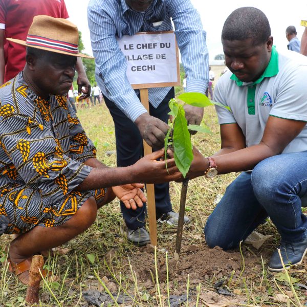
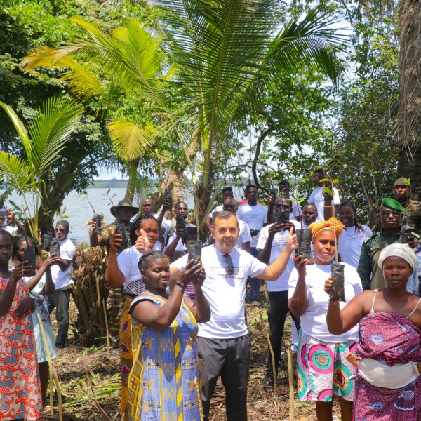
Agroforestry and Reforestation
-
Remote sensing and Geographic Information Systems (GIS)
-
Study of the spatial dynamics of forest ecosystems
-
Global Positioning System (GPS) training for farmers